Old Dunshalt
We are lucky to have a collection of old photos of the village as it developed, dating from the beginning of the 20th century. All of the photos in this Gallery can be found displayed in Dunshalt Village Hall.
Dunshalt Brick and Tile Works was situated west of the village and continued in operation until 1920. This photo shows on the right the kiln for firing the tiles, in the centre the drying sheds, at the rear the boiler house chimney and in the foreground a stack of round drainpipes. The factory also made bricks and roof tiles, many of which are still in use today.
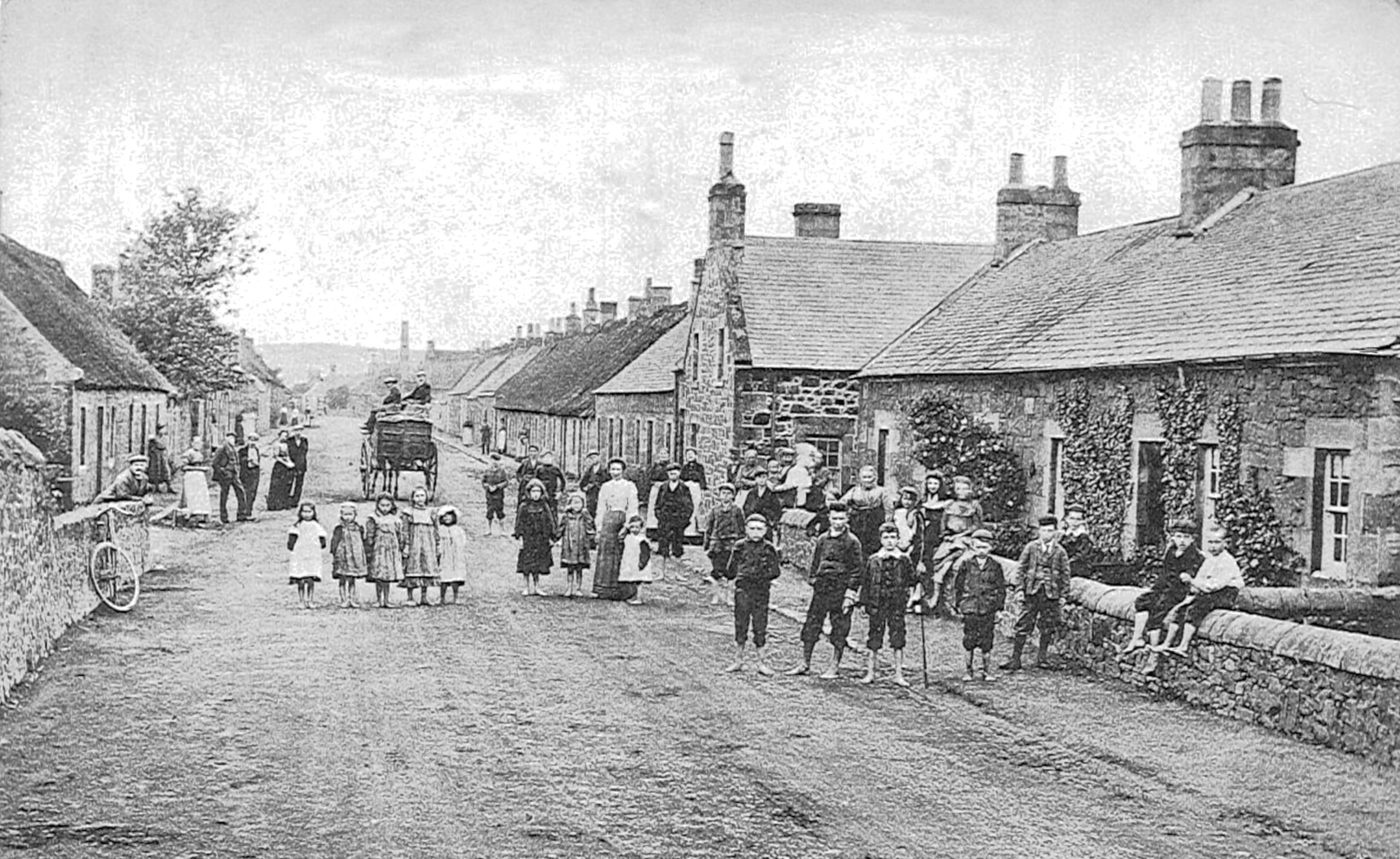
This photo provides a clear view down Main Street. The gap site on the left with the tree has been filled in with what is now The Barn, but otherwise not much has changed. The Hall and Shop are unmistakeable in the middle distance. The linen factory chimney stack in the background is long gone. Note that in this and the photo to the right none of the children have shoes!
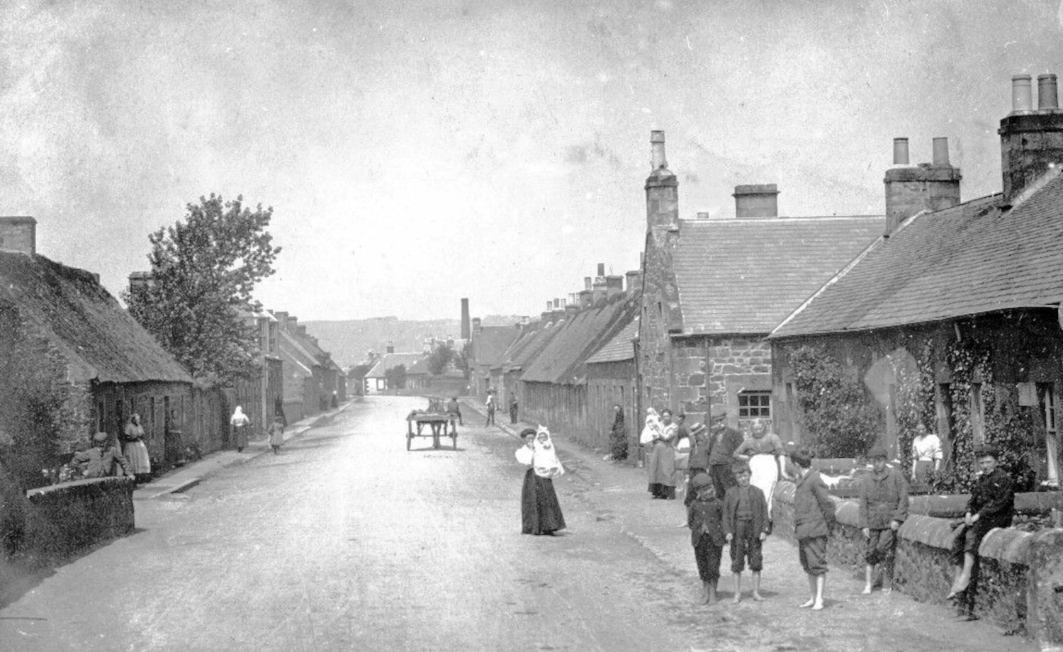
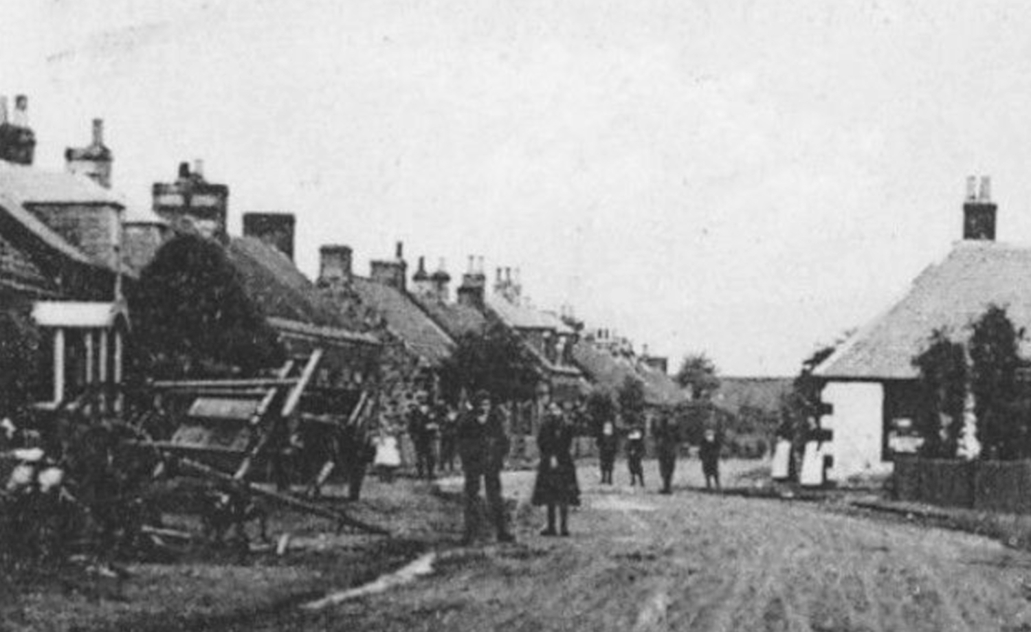
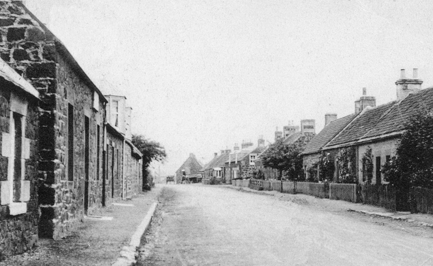
This photo provides another view down Main Street. The houses feature a mixture of thatched and slated roofs. In the background stands the chimney stack for the linen factory. Many of the same faces are to be found in the Harbour photo above. The man on the left is leaning on the wall at the road leading down to the Harbour.
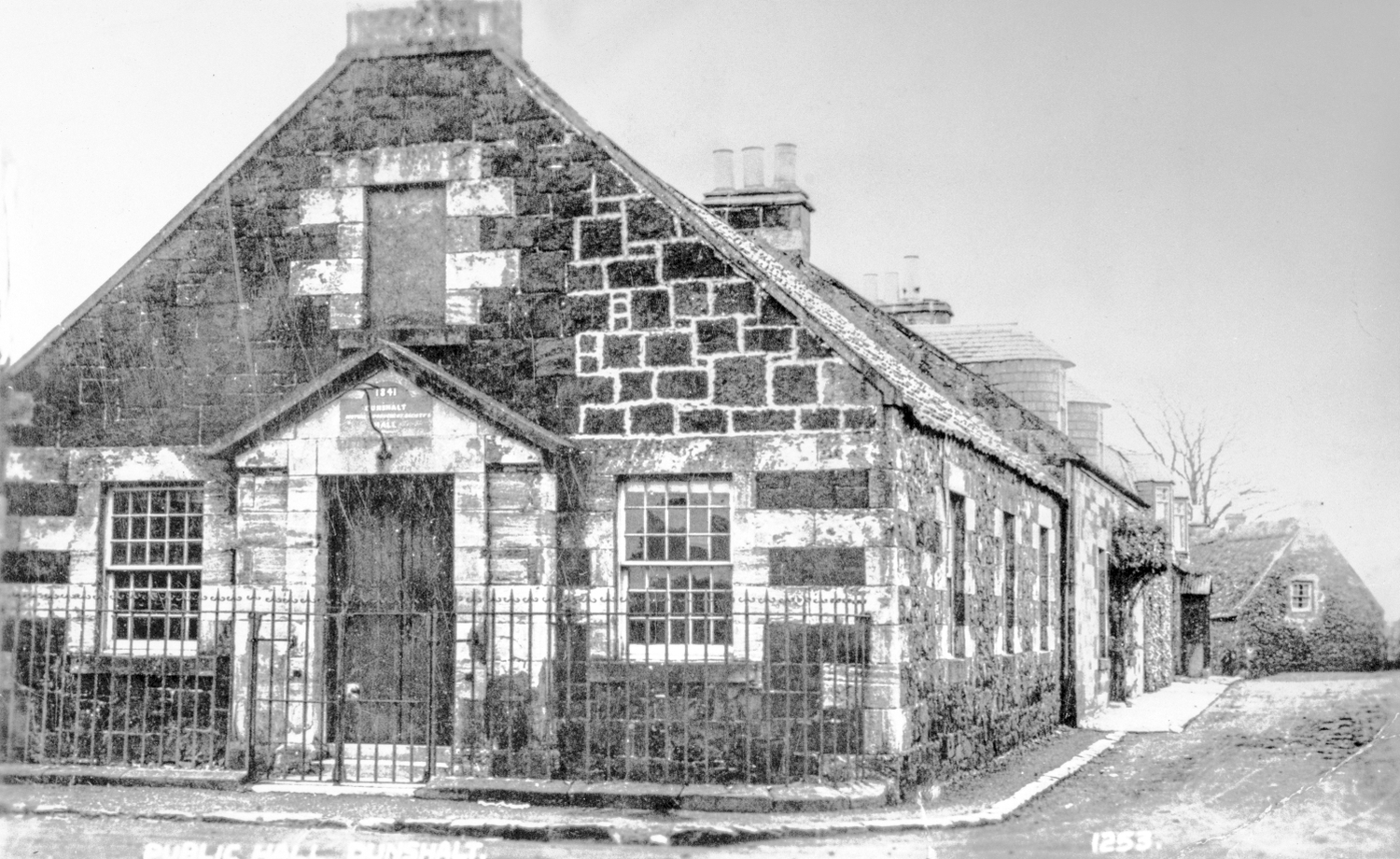
The Village Hall was built in 1841 by the Dunshalt Mutual Improvement Society, but by the time this photo was taken the window above the door has been closed off, presumably when the lower ceiling was installed. A side door has since been added, and the front door moved to the new extension in 1957. The plaque above the door remains in place today.
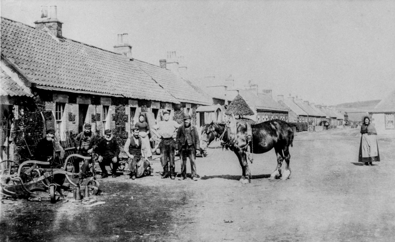
This older photo is taken from outside the Blacksmith's, looking north down Main Street. The Shop is unmistakeable on the right. Photo subjects look well dressed, perhaps either for the photo opportunity or maybe on a Sunday? The photo has a similar look to the one of the old Post Office, with the two women near the shop dressed identically to those in that photo.
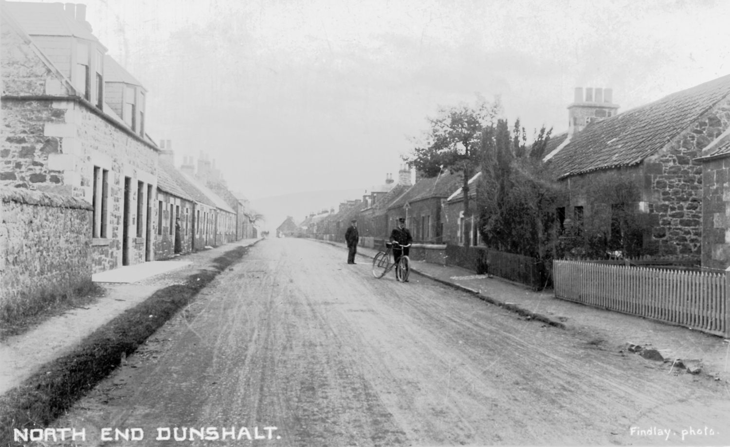
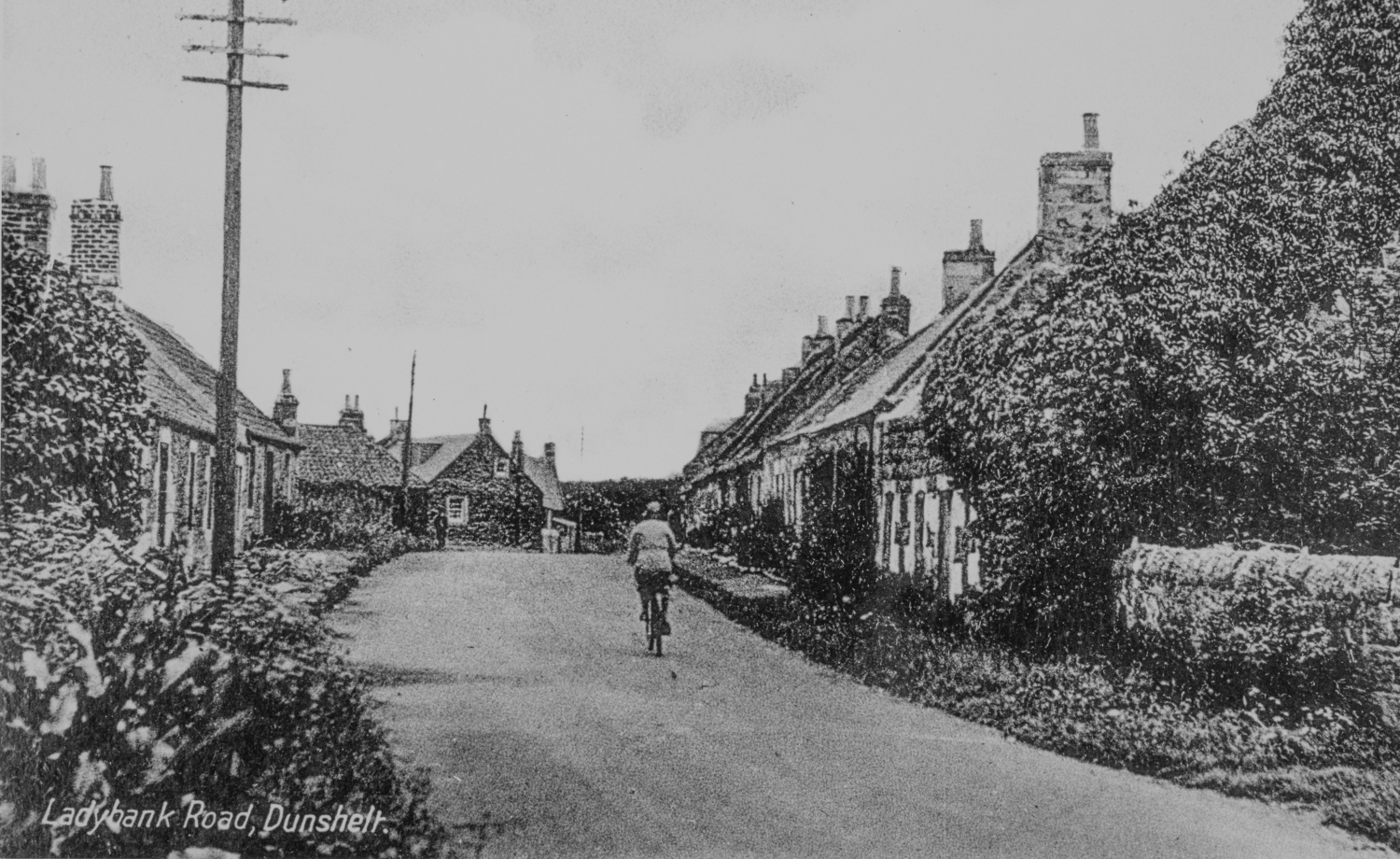
This photo, like a number of others in this collection, was taken by the well known Auchtermuchty photographer Frank Findlay, who died in 1923. Of interest is the postman and his bike with it's carbide / acetylene lamp. The Dunshalt Post Office operated as a sub post office to Auchtermuchty, with a 'runner' taking mail to and fro twice a day.
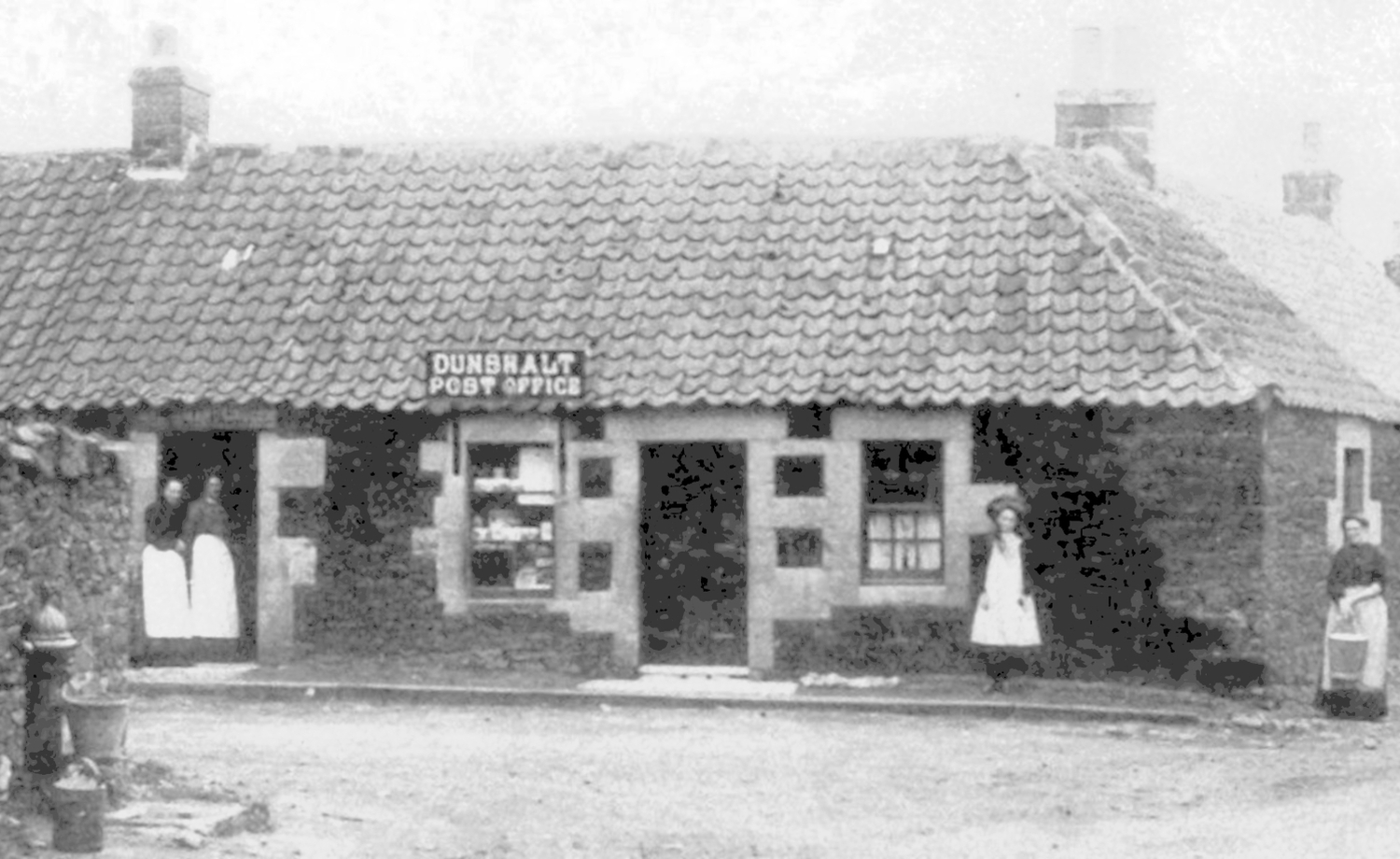
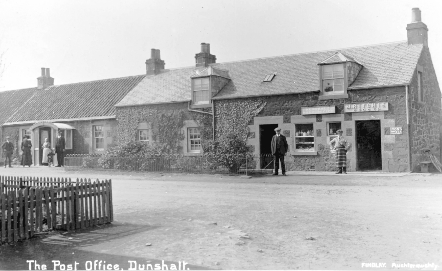
Although this early photo is clearly Dunshalt Post Office, it's location is a bit of a mystery. We know that the original post office and school shared the building at the south end of the village, and that the new school opened in 1875, so it must be presumed that this was the home of the Post Office between then and the opening of the new one in the next photo.
This photo is dated 1905 looking south from midway down Main Street. The first house on the left was marked as a Public House on the OS map of that year, and the sign is clearly visible above the window. The large house in the distance does not yeat have the upstairs dormer conversion, which was added in 1913.
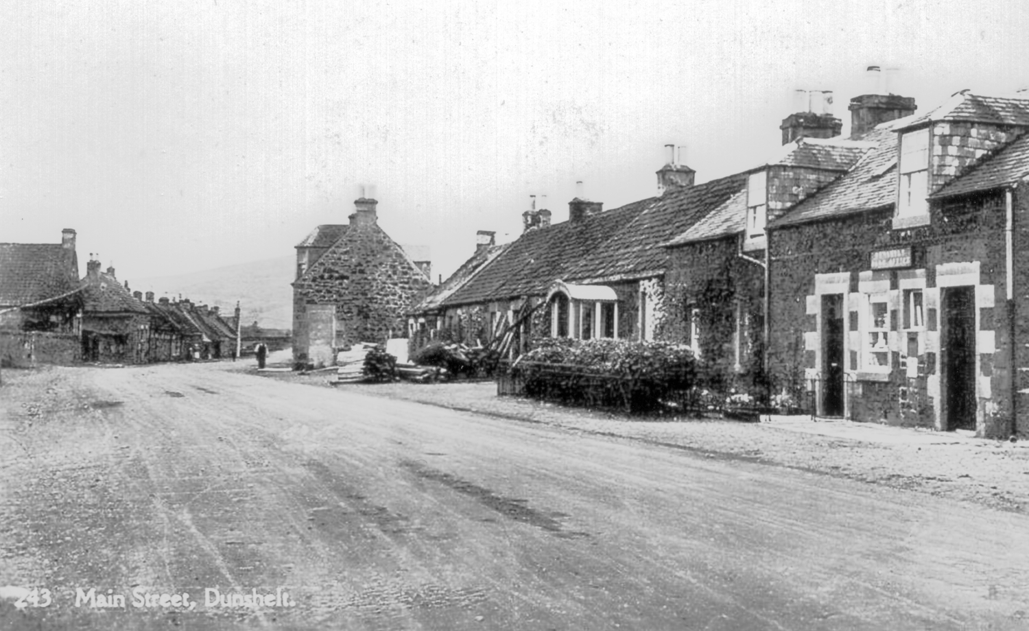
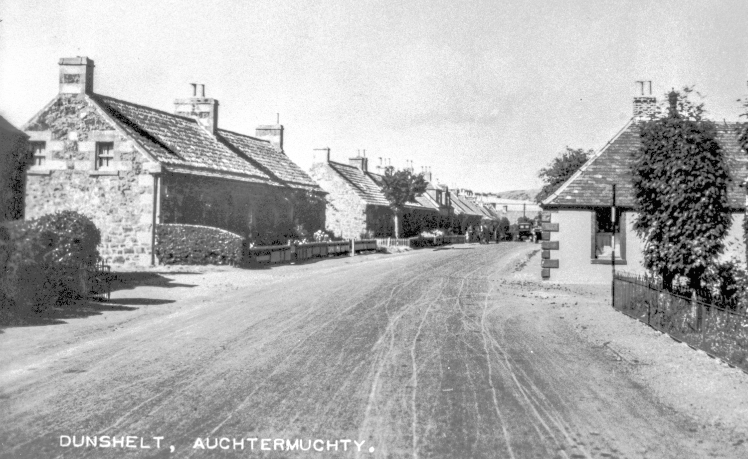
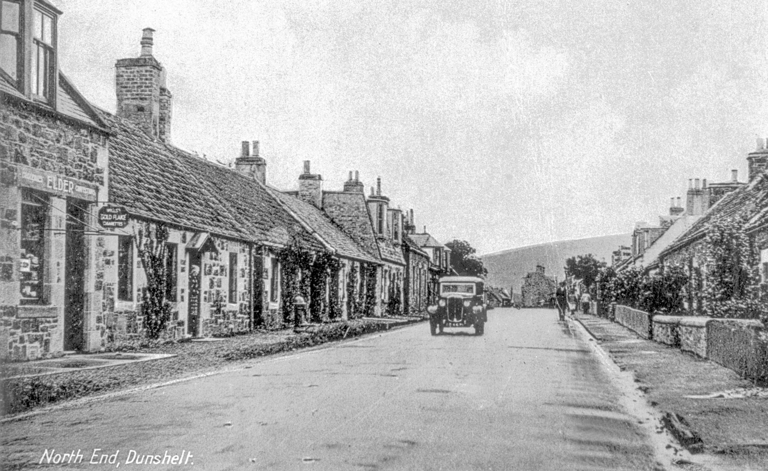
Taken at the north end of the village, the postcard original is postmarked 1919. This is a different postman, or at least he has a different bike! The house in the left foreground has a nice new paving slab laid along its frontage and is on it's way to becoming a shop although there is no signage in place yet.
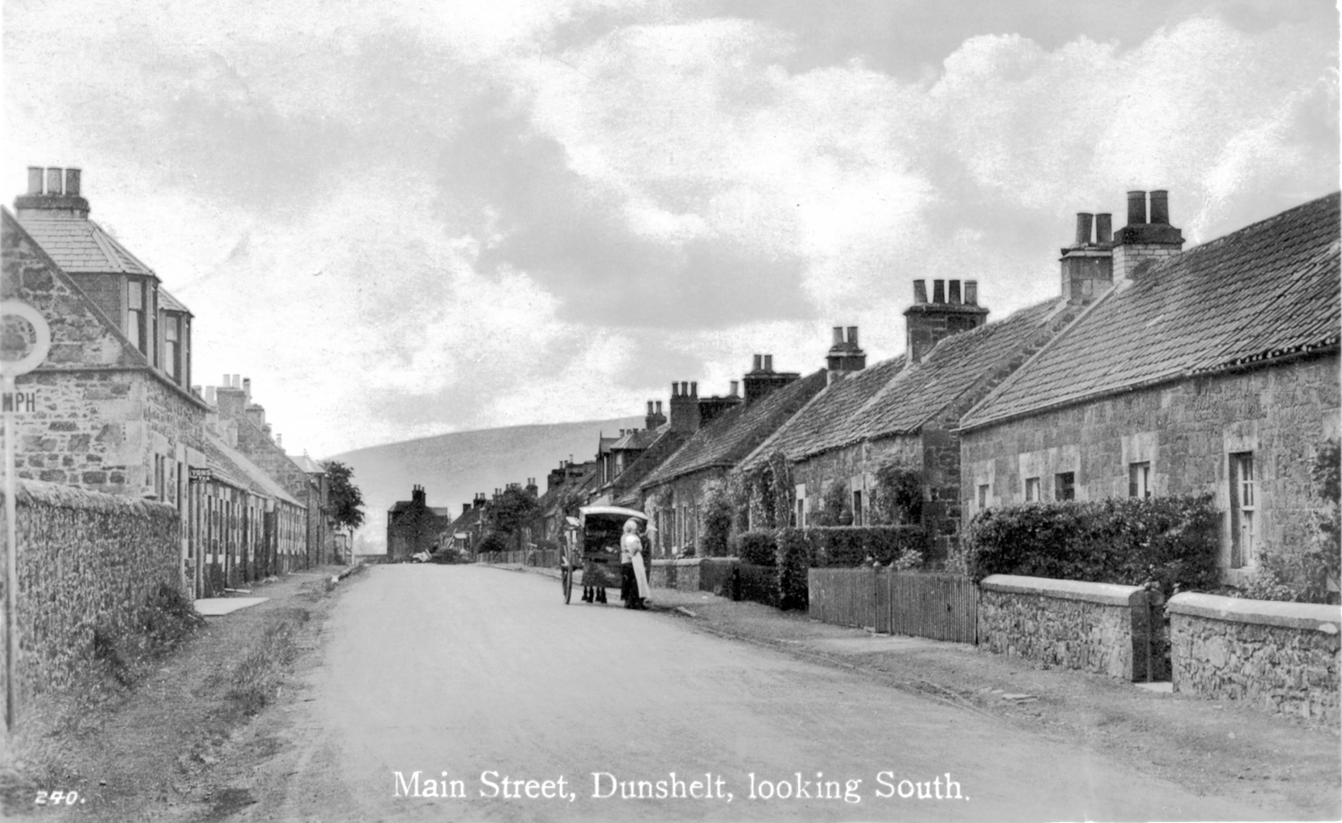
Taken from the same viewpoint as the previous photo, but later and by a different photographer. The postmark on the original postcard is from 1930, when speed limits had been introduced to curb the speeds of the then new motor cars. The shop still has a pristeen paving slab but now sports a Lyons' Tea sign.
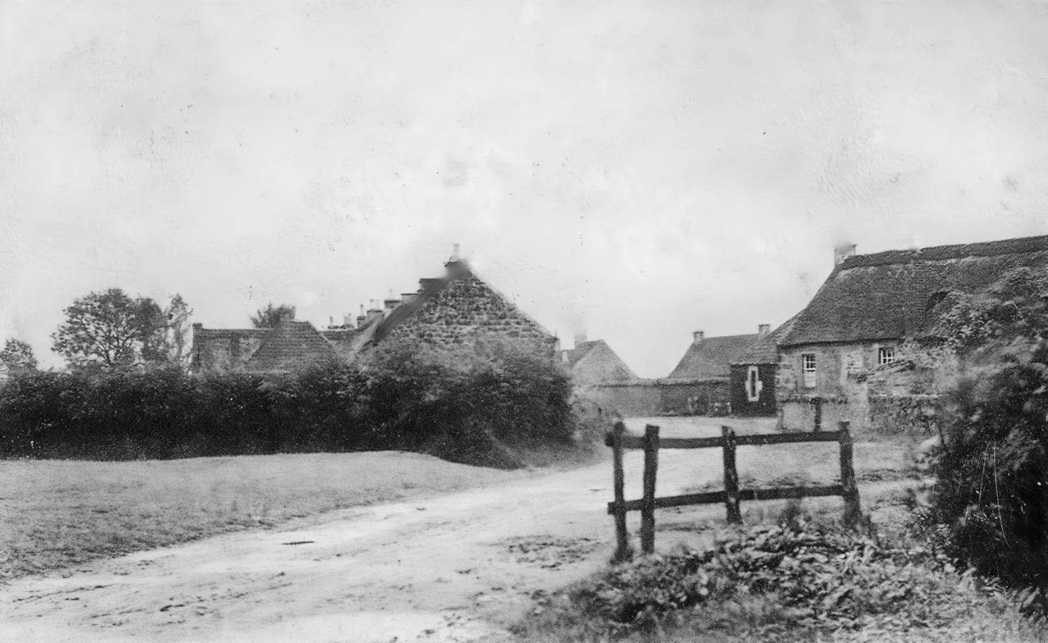
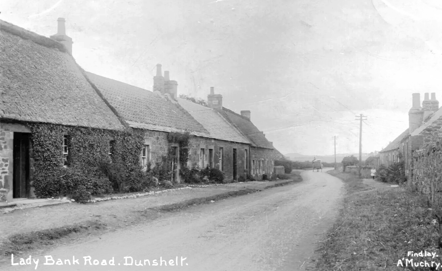
This piece of open ground, known as the Well Green, is recognisable today as the location for the bus shelter on Ladybank Road. Prior to the development of the playpark this was where community events such as the village fete took place, with a photo elsewhere of the youngsters of the village in fancy dress for the event.
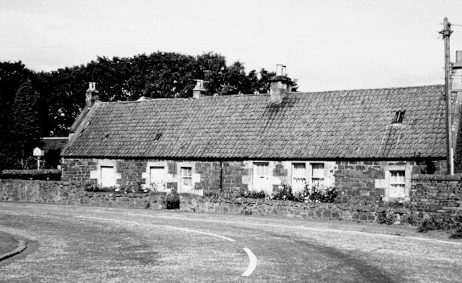
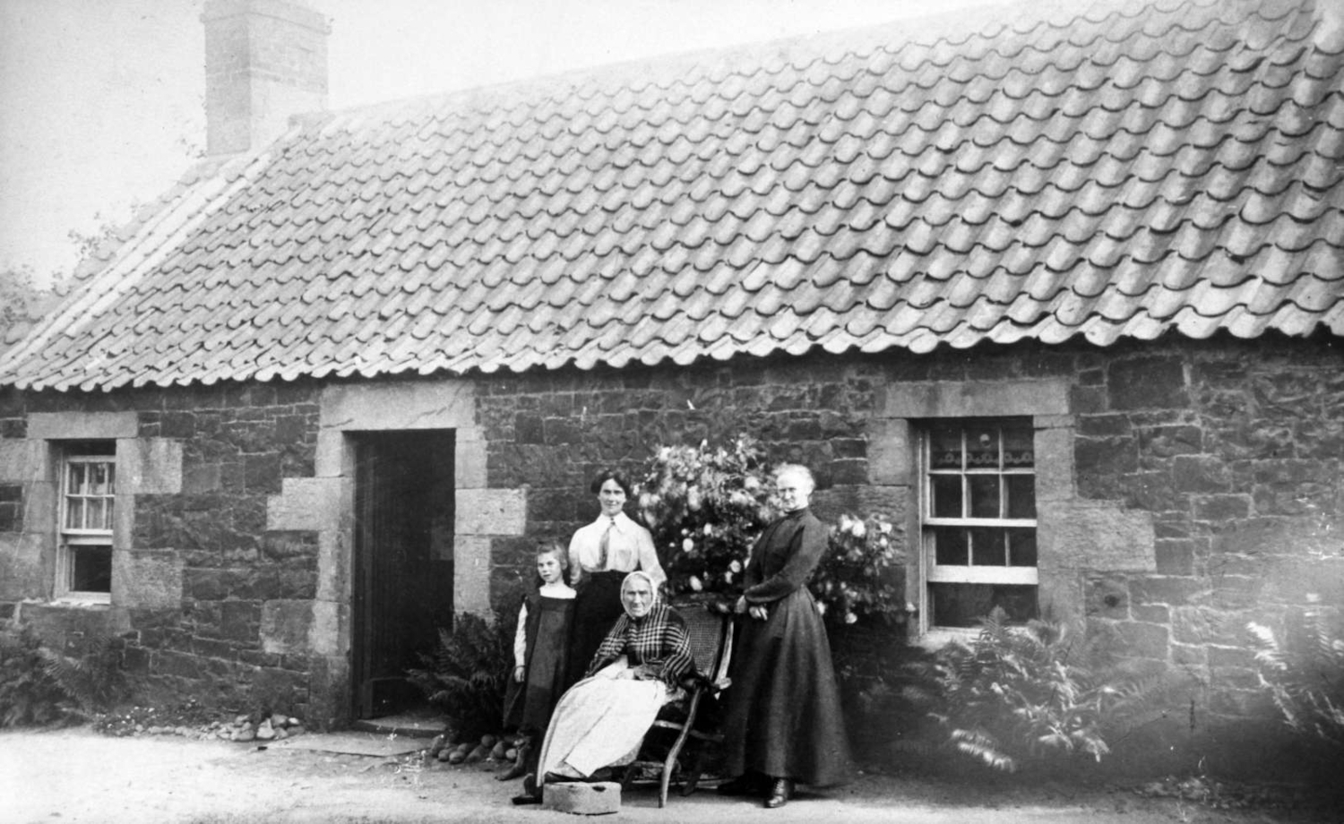
This photo is clearly four generations of the same family who lived at 9 Ladybank Road. The house is easily recognisable from the unique stonework around the doors and windows, all of which is still there today. Is the younger lady second from the left the school teacher featured in the school group photo elsewhere in this collection?
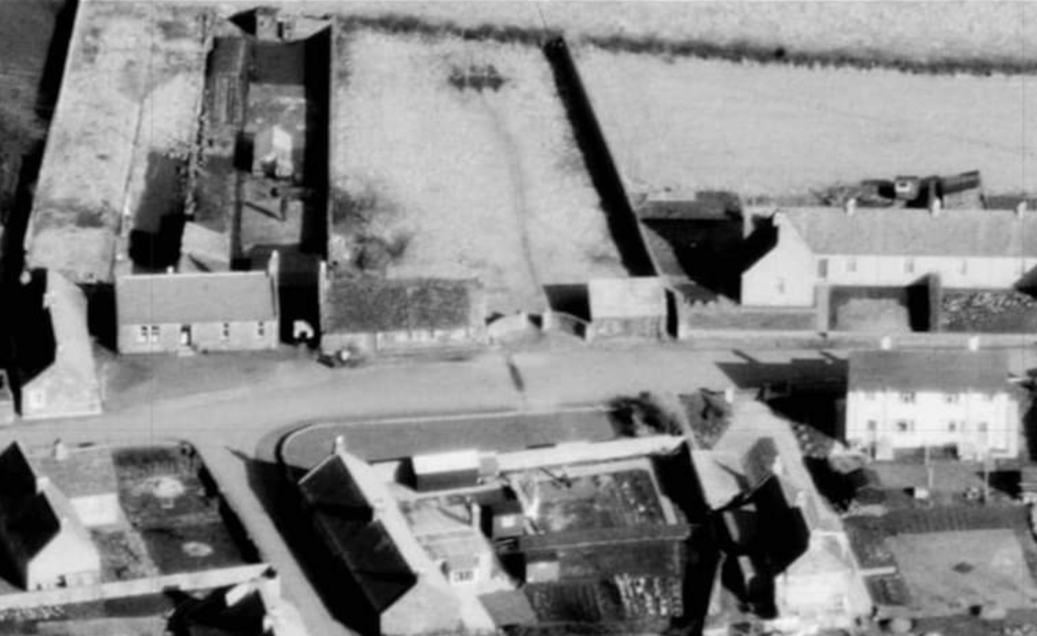
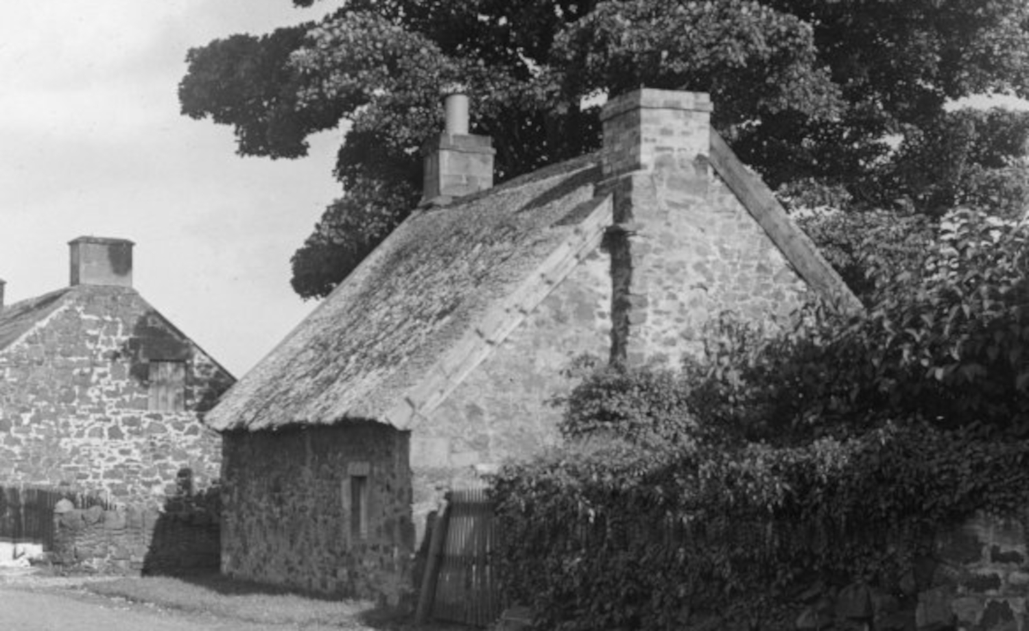
This pre 1950 photo is of the roadman's house (left) and roadman's hut, as seen in the previous aerial photo.The gap between them allowed access to the play park. A local resident who lived in the council house immediately south of the park remembers the day the huge tree in the background was felled, with the roots still visible until the recent playpark re-development.
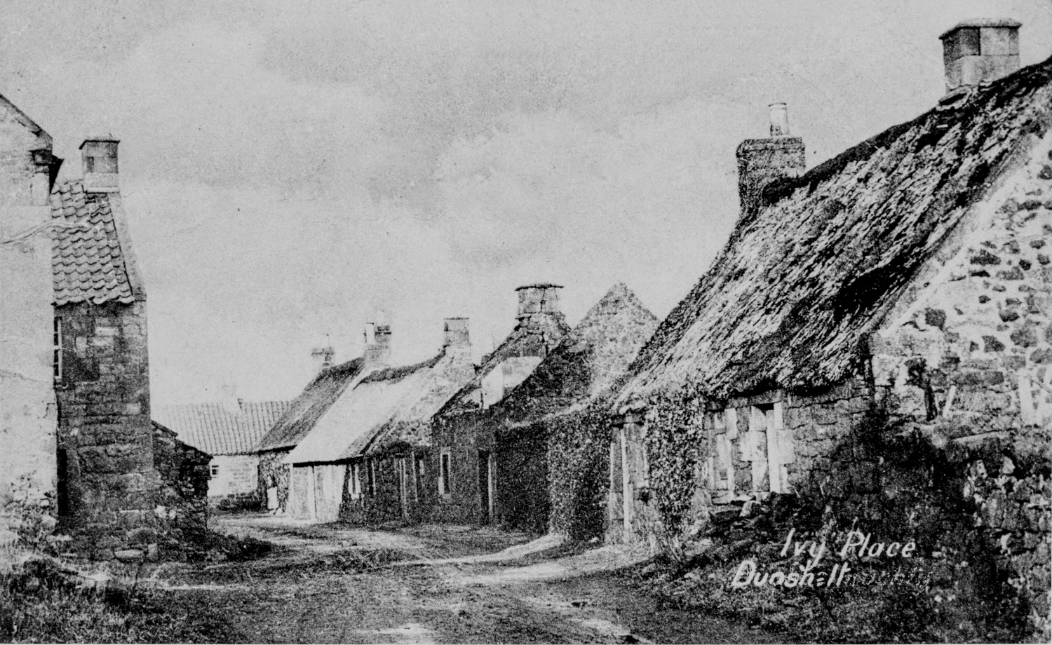
Although Dunshalt was a prosperous village with a population of almost 600 in the mid 1800s the development of the linen works slowly reduced employment opportunities. By the time this photo was taken clearly some areas of the village were beginning to be abandoned and the houses falling into severe disrepair.
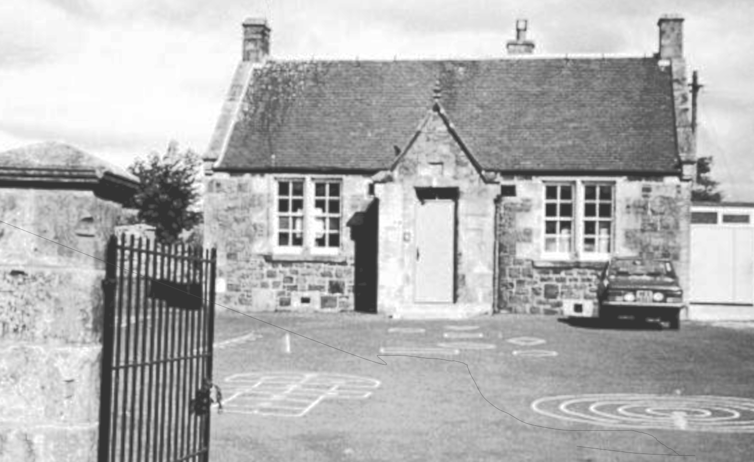
Dunshalt School was opened in 1875. The old school at the south end of the village had an average of 100 pupils in 1855, but by the time the new school opened in 1875 this had already fallen to 56. The roll continued to drop over the next century and with only seven pupils remaining it closed in 2007.


